Centre for Urban Habitat & Heritage
Research and
practice in territory
CUHH is an independent research and practice platform working on urban habitat, heritage and climate-responsive planning in Central Europe and the monsoon regions of South Asia.
Professional practice in Slovakia. South Asia: a developing focus for research and collaboration.
Working with territories
We prepare statutory planning documentation, spatial analysis and heritage-sensitive strategies. Commissions are carried out in Slovakia under Act No. 200/2022 Coll. on spatial planning.
Territorial planning
Municipal and zonal plans, preparatory analysis, assignments and drafts.
Urban design
Settlement morphology, public space, built form and density.
Spatial data and GIS
Data infrastructure, terrain models, cadastral and environmental layers.
Heritage-sensitive planning
Historic settlements and cultural landscape as a living layer of development.
Climate adaptation
Water, heat and soil as planning constraints, not a separate chapter.
Research and advisory
Comparative studies, background analysis and expert consultation.
Municipalities in Slovakia can commission the first, preparatory stage of a municipal plan — analysis and synthesis of territorial data. This service is offered in Slovak: Územný plán pre obce →
Scale of work
From landscape to building
We do not work with cities alone. Territory has scales that depend on one another — a decision at one changes the conditions at all the others.
- Territory
- landscape, region, river basin, settlement structure
- Settlement
- village, small town, settlement morphology
- Habitat
- neighbourhood, public space, conditions of dwelling
- Building
- structure, detail, traditional building principles
Understanding territories
Research
- settlement morphology and its transformation
- heritage as a living layer of territorial development
- water in the landscape and in the settlement
- demographic change in rural regions
- comparative studies across regions
Working with territories
Practice
- territorial and municipal planning
- urban design
- spatial data and GIS analysis
- heritage-sensitive planning
- climate adaptation in planning
Two regions
Different territories, shared questions
Rural transformation, heritage, water and climate appear differently in Central Europe and in monsoon South Asia — but the questions they put to planning are related.
Central Europe
Slovakia and the wider Central European context. This is where our project and commercial work takes place.
- rural transformation
- cultural heritage
- demographic change
- landscape and soil
Monsoon South Asia
Northern India and the wider monsoon region. Entry through university collaboration and research; projects to follow. No commissioned work and no concluded partnerships in the region so far.
- rapid transformation
- climate and water
- heritage
- settlement growth
Comparative research · knowledge exchange · practice
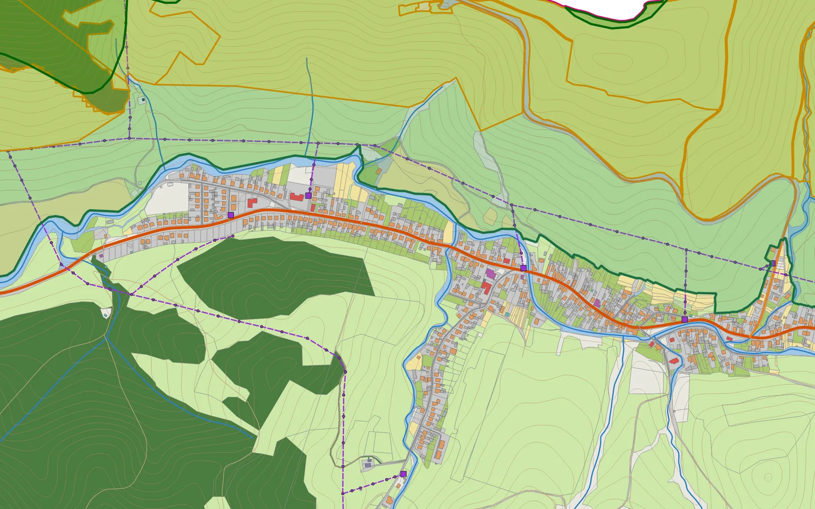
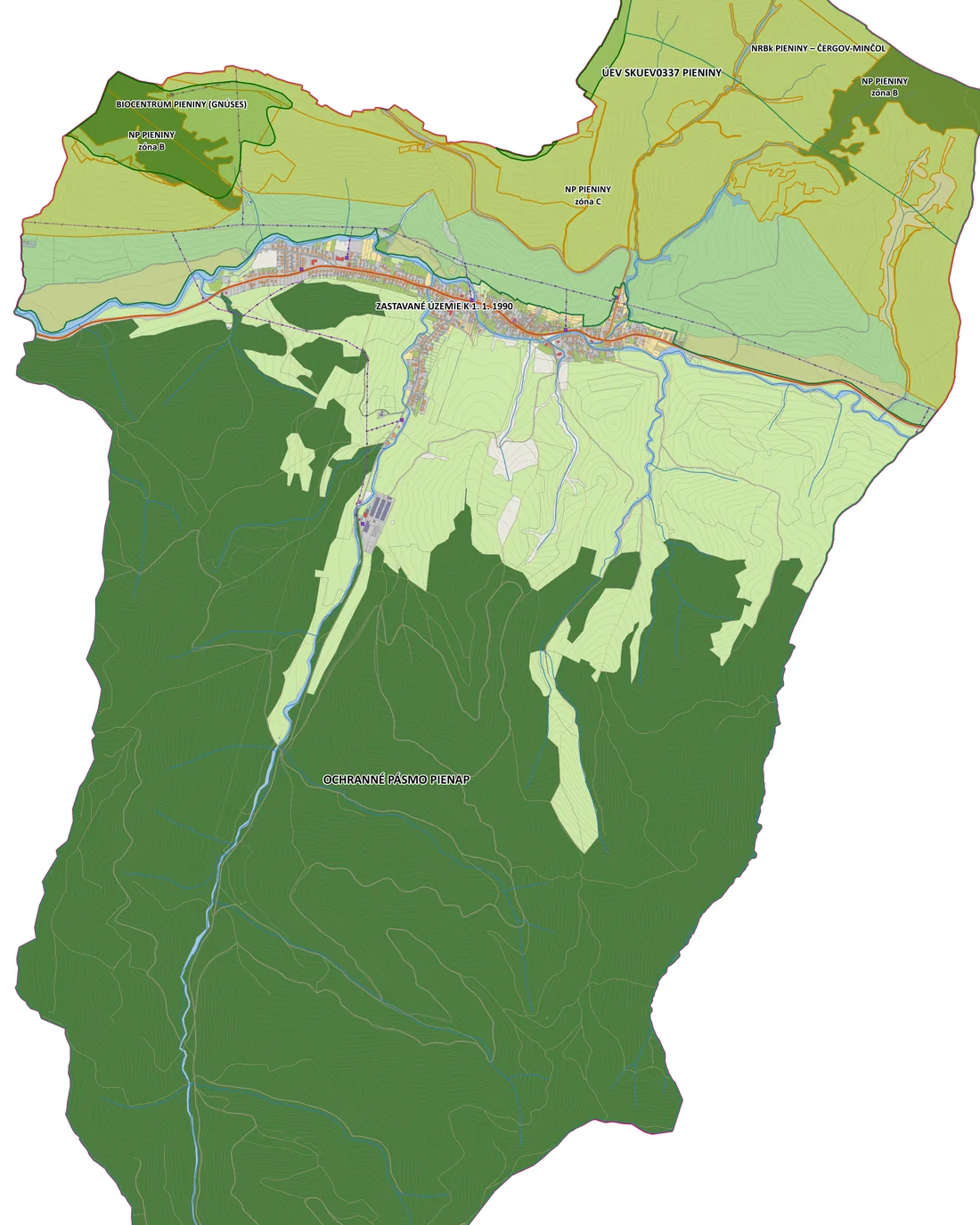
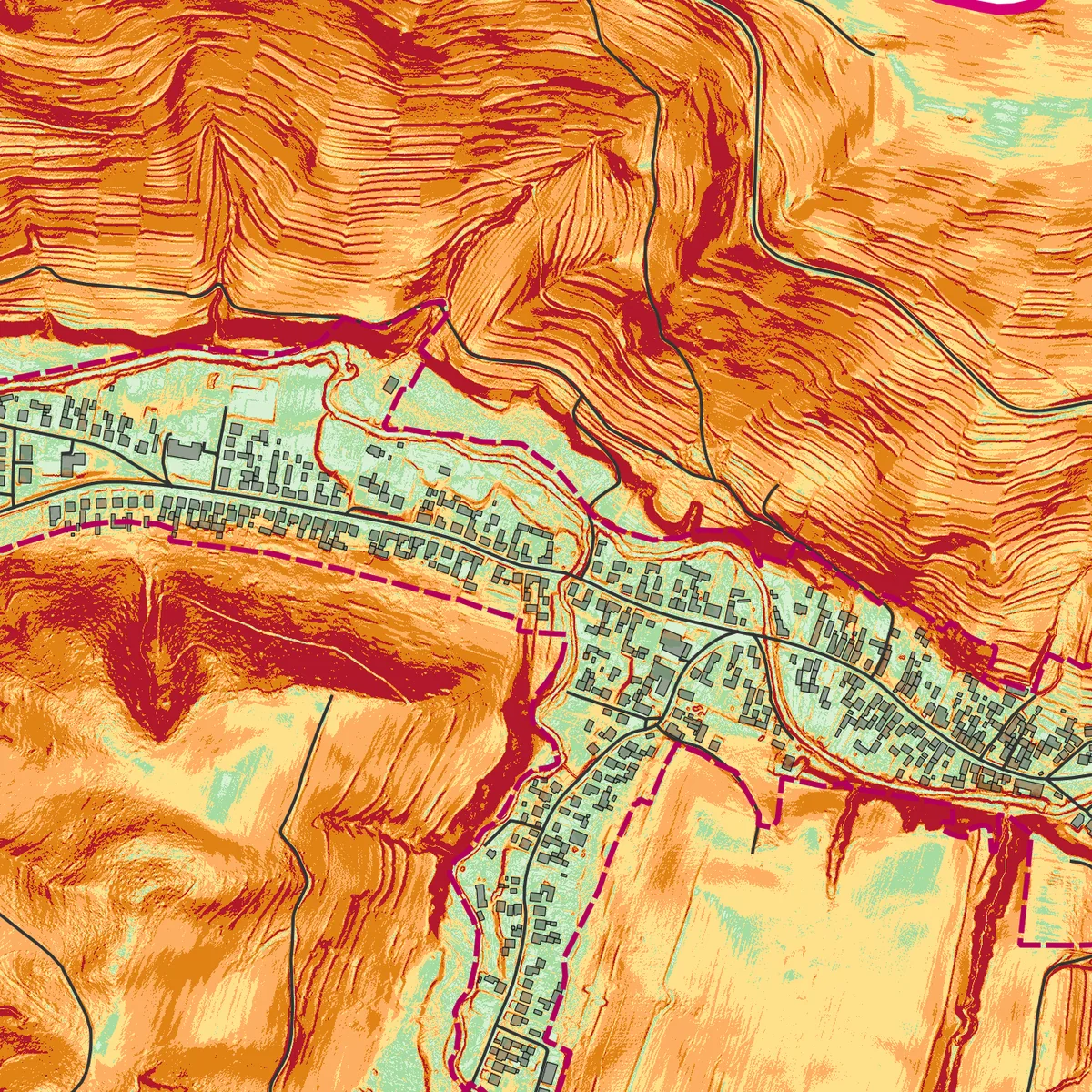
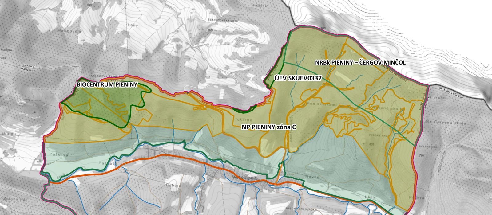
Municipal plan, Veľký Lipník
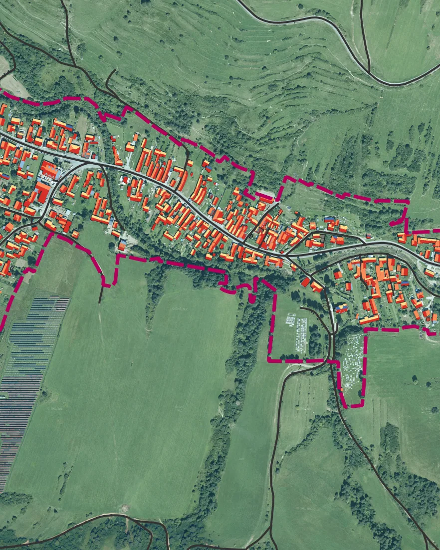
A new municipal plan under Act No. 200/2022 Coll. and Decree No. 153/2024 Coll. A municipality of 899 inhabitants, cadastral area 27.5 km², entirely within a protected area.
Stage: the analysis and synthesis of territorial data has been delivered to the municipality (2026); the planning brief is in preparation. Municipal data: Statistical Office of the SR and State Nature Conservancy of the SR, as of 2026.
Municipal plan, Jalovec
A new municipal plan under Act No. 200/2022 Coll. and Decree No. 153/2024 Coll. A municipality of 311 inhabitants in the Liptovský Mikuláš district, cadastral area 20.2 km².
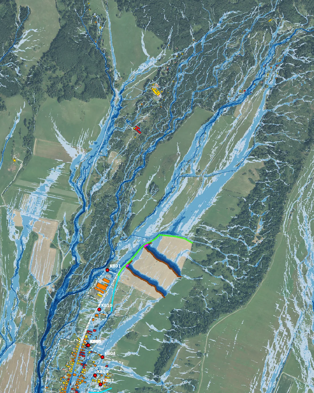
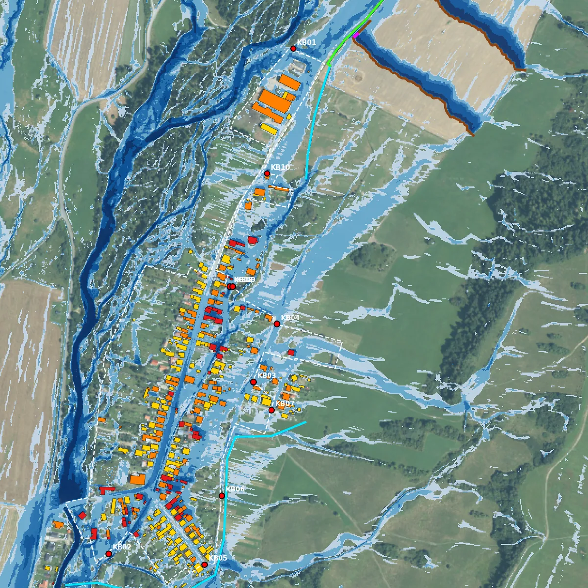
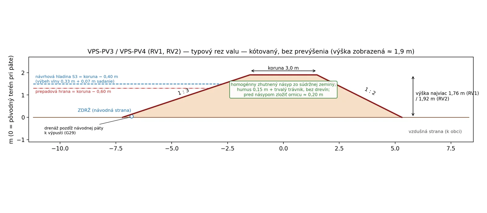
Stage: draft municipal plan. It includes a flash-flood model and conceptual flood-protection measures designated as public-benefit works. Municipal data: Statistical Office of the SR (2021 census) and the cadastre. Base map: orthophoto, Geodesy, Cartography and Cadastre Authority of the SR.